
Srinagar: The Met Department of Jammu Kashmir has predicted snowfall for the next three days in the plains and higher reaches of Jammu Kashmir.
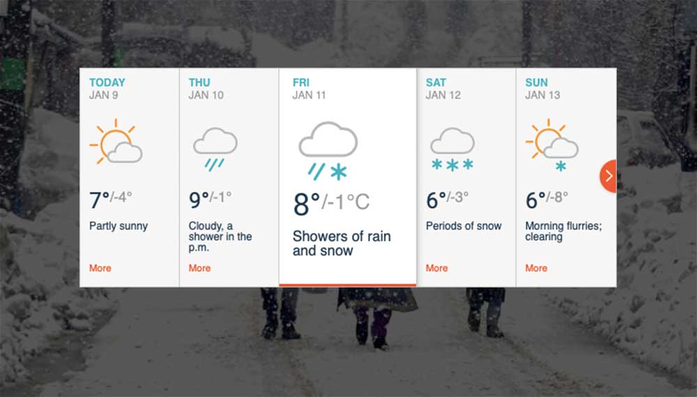
Moderate to heavy snowfall is expected in the valley from January 10 evening to January 13 morning at most places in Kashmir, Sonam Lotus said.
He further warned that the snowfall may lead to temporary disruption of surface and air transport.
According to Skymet Weather, another fresh Western Disturbance has approached Jammu and Kashmir. Thus, scattered light rain and snow with one or two moderate spells are likely.
Kashmir is currently under the grip of ‘Chillai-Kalan’, a 40-day harshest period of winter when the chances of snowfall are most frequent and maximum and the temperature drops considerably. ‘Chillai-Kalan’ ends on January 31, followed by a 20-day long ‘Chillai-Khurd’ (small cold) and a 10-day long ‘Chillai-Bachha’ (baby cold).
Srinagar, the summer capital of the state, recorded -3 degrees Celsius, Pahalgam -5 and Gulmarg -10 as their minimum temperatures on Wednesday.
Meanwhile, the temperature at night in Leh and Kargil fell to -9.9 degrees Celsius and -15.3 degrees, respectively.
Jammu, the winter capital of the state, recorded 4.9 degrees Celsius, Katra 5.1 degrees Celsius, Batote -0.1 degrees Celsius, Bannihal -0.4 degrees Celsius and Bhaderwah -1.8 degrees Celsius as their minimum temperatures on Wednesday.
“The Srinagar-Jammu national highway is open for one way traffic, vehicles will ply only one-way from Srinagar to Jammu. No traffic from the opposite side will be allowed,” officials at traffic department said.