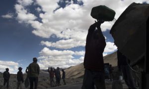

Srinagar: The intensity and spread of an upcoming western disturbance have increased, raising the likelihood of moderate to heavy snowfall and rain across Jammu and Kashmir between December 20 and 22, according to weather forecasters.
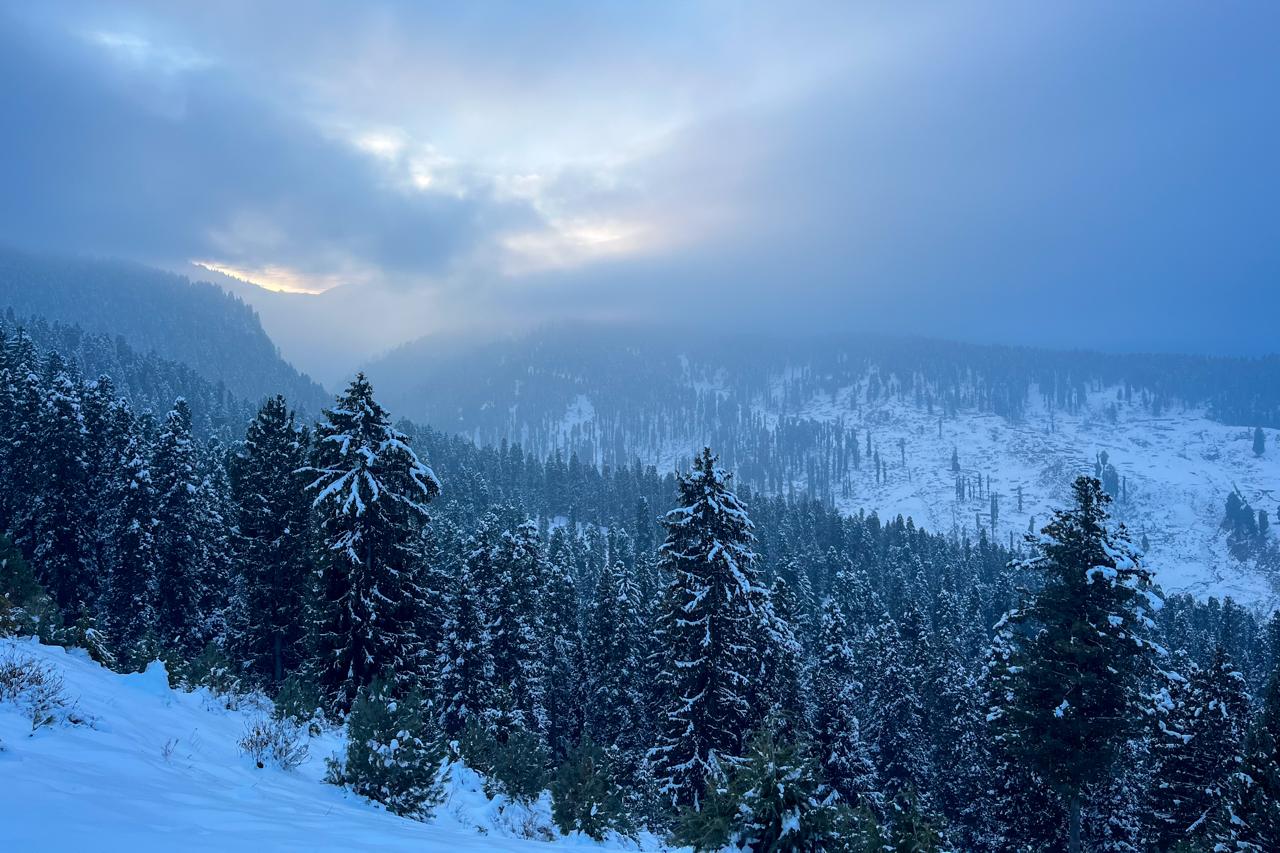
North Kashmir is expected to be the most affected, with higher reaches likely to receive snowfall during the period, the Kashmir Weather Forecast statement said.
The Meteorological Centre, Srinagar, said weather conditions will remain partly cloudy on December 16 and 17, followed by partly to generally cloudy skies on December 18 and 19, with chances of very light snowfall at isolated higher reaches of North and Central Kashmir.
From the late night of December 20 to the afternoon of December 21, the region may witness light snowfall over the higher reaches of the Kashmir division and light rain over scattered plain areas of Jammu and Kashmir, the MeT office said.
Weather is expected to remain partly cloudy from December 22 to 26, while December 27 and 28 may see partly to generally cloudy conditions. Towards the end of the month, generally cloudy weather with the possibility of light snowfall at isolated higher reaches of North and Central Kashmir is forecast from December 29 to 31.
The MeT Centre has warned that shallow to moderate fog is likely to persist at many places in the Kashmir division and at isolated locations in the Jammu division.
It also cautioned that light snowfall combined with sub-zero temperatures in higher reaches could lead to slippery road conditions, particularly during the late night of December 20 and the morning of December 21.
Travellers and transporters have been advised to follow traffic and administrative advisories, officials said.