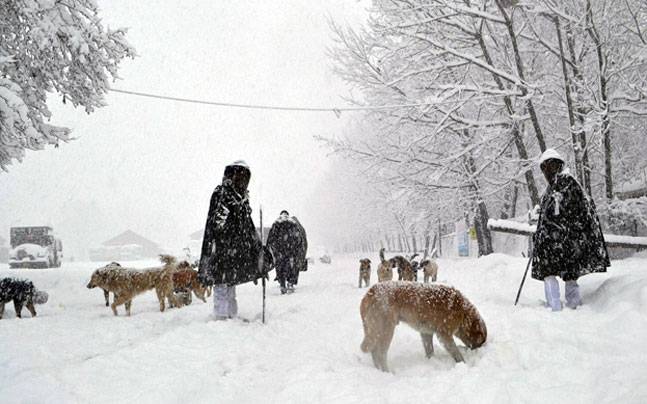

Srinagar: The India Meteorological Department (IMD) on Thursday forecast moderate to heavy snowfall in both plains and upper reaches of J&K and Ladakh from Friday evening.
The local Meteorological department has already warned that inclement weather could affect both air traffic and surface transport.
A weather advisory issued by the IMD has said that an active Western Disturbance, which brings change in weather, “is most likely to hit J&K and Ladakh from Friday evening till Sunday late night”.
“Scattered to fairly widespread precipitation very likely over J&K. Isolated heavy snowfall also very likely over J&K and Ladakh between November 14 and 15,” IMD forecast issued on Thursday evening said.
It said the main activity in the form of moderate to heavy rain or snowfall at isolated places is most likely during Saturday and Sunday.
“The system is likely to cause heavy rain/snow mainly in upper reaches of Kashmir including Gulmarg, Sonamarg, Baramulla, Bandipora (Gurez and Tulail Valley), Kupwara (Karnah sector), Shopian, Qazigund- Banihal axis, Pirpanjal Range of Jammu Division, Drass (Gumri and Minamarg) and Zanskar subdivision of Ladakh UT,” the advisory read.
The advisory said probable impact of the forthcoming inclement weather would be that it may “lead to temporary disruption of air and surface transport”.
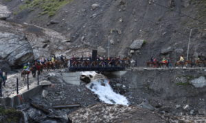
“This would be mainly on Jammu- Srinagar National Highway, Srinagar-Leh National Highway, Mughal Road and other major roads,” the advisory read. The MeT department has issued a warning that there “could be landslides and shooting stones in vulnerable spots of Jammu-Srinagar and Srinagar-Leh National Highway”.
The MeT advisory also warned that inclement weather “may disrupt agricultural activities such as apple harvesting and orchard management”.
Free Press Kashmir is now on Telegram. Click here to Join.
FPK Android App for 2G. Click here to Download.