
While the shadows of flood and fear are erased, the imprints of destruction are already engraved in various parts of the valley.
When the water level in Srinagar’s Sonar Kol crossed the danger mark, panic gripped the entire locality of Karfalli Mohalla on June 21. The summertime shower was already stirring up the devastating deluge nightmare of 2014.
“As downpour continued, we knew it was just a matter of time,” Nazir, a local, recalled. “We were once again preparing for the worst.”
The sky that night was studded with stars and thin scattered clouds, but the level of water was constantly increasing.
In ones and twos, people living along the banks of the river eventually shifted their belongings from the ground floors to upper floors.
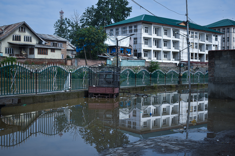
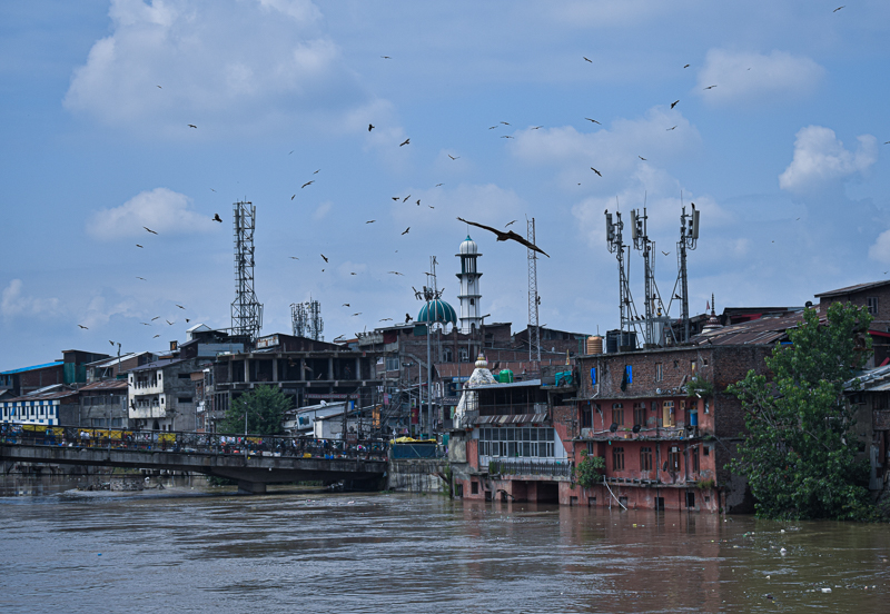
Before receding, water was flowing above the sidewalk at Sonar Kol. [FPK Photo/Amir Bin Rafi.]
After lashing the valley for past few days, the incessant rains finally stopped in the afternoon on Wednesday.
When the sun came out of the dark cloud cover, the people witnessed warmth in temperature and peace in hearts.
While the shadows of flood and fear were erased, the imprints of destruction were already engraved in various parts of the valley.
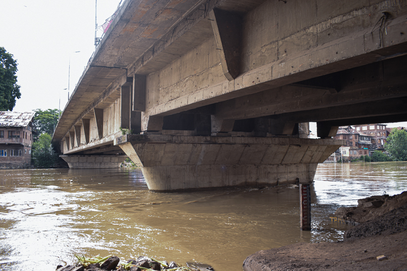
Post 2014 floods, a metering gauge was installed at Habba Kadal. [FPK Photo/Amir Bin Rafi.]
On June 22, all the major rivers and tributaries were either flowing above the danger mark or were close to it. Water surge was first reported from South Kashmir.
According to the data acquired from Irrigation and Flood Control (I&fC) Department, Vishow Nallah at Khudwani which was flowing above the flood mark, even touched the highest level of 10.85m, which is 3.85 meter and 3.1 meter above the level of flood alarm and flood declaration respectively.
But shortly after that the water level started to recede. Similarly, the water level at Sangam came down after touching the maximum gauge of 22.09 feet.
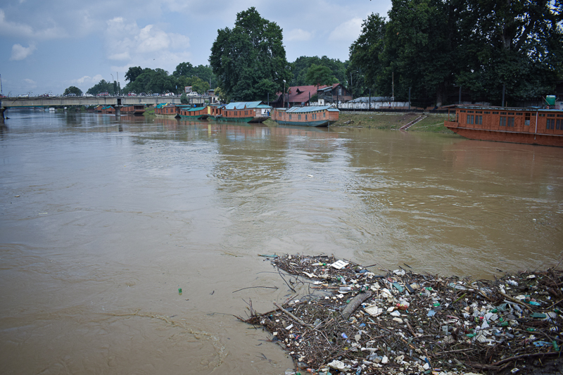
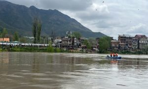
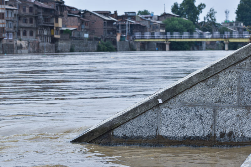
Water level in Jhelum was still above danger mark on June 23. [FPK Photo/Muzammil Bashir.]
At Ram Munshi Bagh, Jhelum touched the maximum gauge of 19.77 feet at 5 am on Thursday, before the water level started to recede.
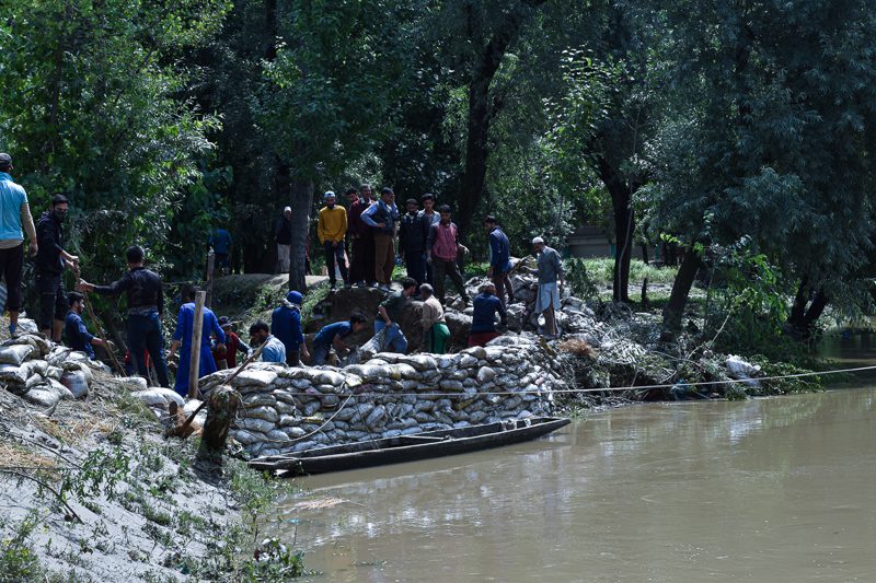
The part of the bank where breach happened at Goripora. [FPK Photo/Amir Bin Rafi.]
Flash floods were also reported from many parts of the valley. In Goripora area of Bemina, a breach in the bank of flood channel resulted in flash flood.
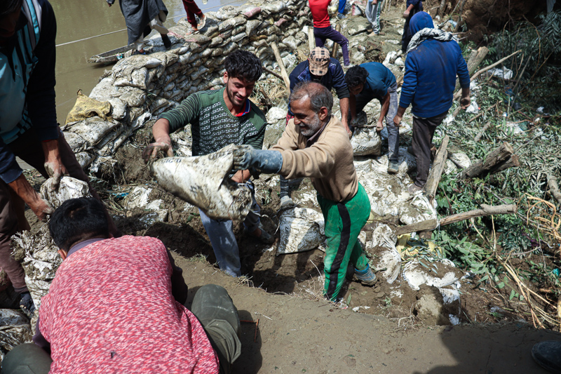
Locals and workers placing sand bags at the spot of breached bank. [FPK Photo/Masroor Ashraf.]
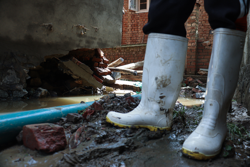
“We heard a loud noise at around 9am on Wednesday, and within no time we saw our ground floors submerged,” recalls a local woman while looking at her muddy kitchen. “It felt like a throwback to 2014.”
A local standing nearby his partially damaged house at Goripora. [FPK Photo/Masroor Ashraf.]
According to locals, they didn’t get any time to shift their belongings as the water came in no time.
“A part of the base of my house is damaged,” said Nazir Ahmad Bhat, a local resident. “We are unsure of entering there.”
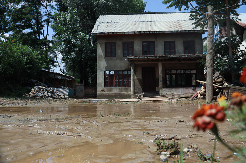
A flood struck house with muddy water flowing through the courtyard at Goripora. [FPK Photo/Masroor Ashraf.]
As the water submerged the whole locality, the roads also got fully damaged, adding to transportation problems.
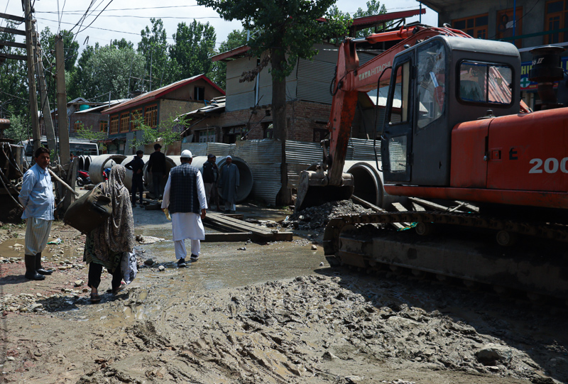
A woman carrying a bag on her shoulder as floods damaged the main road at Goripora. [FPK Photo/Masroor Ashraf.]
Moreover, reports of cloudburst came from Central Kashmir’s Budgam. At least 52 sheep, eight horses and five cows reportedly died due to cloud burst in the upper forest parts of the district.
After continuos rainfall for past few days, improvement in weather was seen across the valley on Thursday. [FPK Photo/Muzammil Bashir.]
According to the official twitter handle of Meteorological Centre Srinagar, improvement in weather is seen across J&K.
The department, however, has predicted a ‘brief spell of light to moderate rain/thunderstorm at isolated places’.
However, there’s no forecast of “any major rainfall activity till ending June”.
After improvement in weather, water level receded in Jhelum. [FPK Photo/Amir Bin Rafi.]
After a significant improvement in weather, the water level in all major rivers and tributaries has started to decrease.
According to I&FC department, gauge readings at Vishow, Sangam and Ram Munshi bagh were 5.81m, 18.29ft and 19.27 feet respectively at 12 on June 23.
However, water is still flowing above danger mark at Ram Munshi Bagh and above flood declaration mark at Sangam, thus keeping life on edge in the parts of the valley.