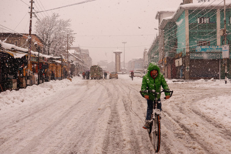

Srinagar: The minimum temperature recorded a considerable increase on Saturday as Jammu and Kashmir braces for nearly weeklong cloudy and wet weather in wake of two back-to-back western disturbances.
A meteorological department official told GNS that Srinagar recorded a low of minus 1.4°C against last night’s minus 5.5°C which was the coldest for the season so far. Today’s minimum temperature was 0.5°C above normal, he said.
Qazigund, he said, recorded a low of minus 1.6°C against minus 5.6°C. Today’s minimum temperature was 1.5°C above normal, he said.
Pahalgam, he said, recorded a low of minus 2.8°C against minus 8.6°C on the previous night. Today’s minimum temperature was 4.2°C above normal for the place, he said. The coldest night recorded this season in the famous tourist resort in south Kashmir’s Anantnag district was on January 2 when mercury plunged to minus 9.6°C.
Kokernag recorded a low of minus 1.4°C against minus 4.3°C on the previous night, he said. It was 2.6°C above normal for the place.
Gulmarg recorded a low of minus 2.6°C against minus 5.0°C on the previous night, the official said. It was 2.6°C above normal for the world-famous skiing resort in north Kashmir’s Baramulla district which recorded its coldest night on January 2 when the minimum temperature plummeted to minus 10.0°C, the official said.
In Kupwara town, the mercury settled at minus 2.6°C against minus 5.6°C on the previous night in the north Kashmir area, he said. The official said that the temperature was 0.9°C above normal.
Jammu recorded a low of 5.0°C against 3.7°C on the previous night. It was 2.4°C below normal for J&K’s winter capital, he said.
Banihal recorded a low of 3.4°C (above normal by 3.4°C), Batote 5.1°C (above normal by 3.6°C), Katra 7.6°C (1.6°C above normal) and Bhadarwah 2.0°C (3.8°C above normal).
In Ladakh, Leh and Kargil recorded a low of minus 10.8°C and minus 14.8°C respectively, the official said.
“Two back-to-back Western Disturbances (are) most likely to affect J&K and adjoining from 7th January (evening),” the meteorological department official here told GNS, adding, “Under The influence of the 1st WD 7th (evening) to 9th January(afternoon), weather is likely to be cloudy with possibility of light snow over higher reaches during 7th night and light rain/snow over plains of J&K and light to moderate snow in middle and higher reaches during January 8th/9th.” From January 9th (afternoon) to 11th January (afternoon), he said, weather is likely to be cloudy with possibility of light snow over isolated higher reaches of Kashmir.
“Under the influence of the 2nd WD from January 11th(afternoon) to 13th January(afternoon), the weather is expected to be cloudy with possibility of light rain/snow over plains of Jammu and Kashmir and light to moderate snow over middle and higher reaches during 12/13 January.”
He advised Travellers and transporters to plan their journey accordingly especially over Sonamarg-Zojila-Gumni axis, Razdan pass, Sinthan pass, Sadhna pass, Mughal Road etc.
Free Press Kashmir is now on Telegram. Click here to Join.
FPK Android App for 2G. Click here to Download.