
Srinagar: Under the influence of an active Western Disturbance, widespread rain, snow is expected in Jammu and Kashmir between Thursday and Friday.
According to the latest forecast, the spell is expected to commence from Thursday afternoon, originating from the higher reaches, before gradually extending into the plains by the evening.
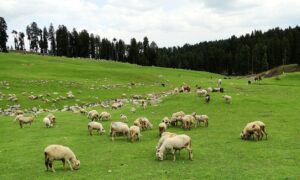
While the prospects of snowfall hover over the Shopian plains, with a substantial 50-60% chance, surrounding areas may also witness a whimsical transformation into a winter wonderland. Elevations beyond the 2000-meter mark are likely to be coated in a pristine layer of snow, adding to the region’s scenic allure.
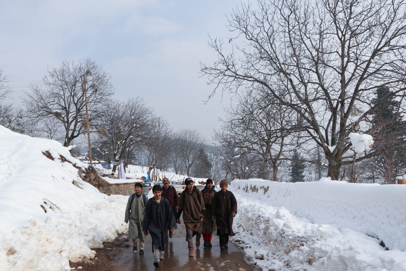
Contrary to expectations, the current conditions suggest that Srinagar may remain untouched by the anticipated snowfall. However, the persisting heavy spell of rain in the Shopian plains could potentially lead to a complete metamorphosis, transforming the precipitation into a flurry of snow. With maximum chances of snowfall predicted for the plains, the spotlight remains on the Shopian district, closely followed by the Kulgam district.
The Forecast is in the monitoring stage and can change in the next 24 hours. Early forecast has been issued just to warn farmers regarding the upcoming event.