
Srinagar: Amid forecast for major snowfall, night temperature recorded a drop in Kashmir Valley on Thursday.
A meteorological department official said that Srinagar recorded a minimum of 2.1°C against previous night’s 4.5°C. It was below normal by 0.6°C for the summer capital of J&K for this time of the year, the MeT official said.
Qazigund recorded a minimum of minus 1.0°C against 2.0°C on the previous night and it was 1.4°C below normal for the gateway town of Kashmir, he said.
Pahalgam recorded a low of minus 4.4°C against minus 2.4°C on the previous night and it was 0.9°C below normal for the famous resort in south Kashmir.
Kokernag, also in south Kashmir, recorded a minimum of minus 0.4°C against 1.1°C on the previous night and the temperature was below normal by 1.7°C for the place, the official said.
Kupwara town recorded a low of minus 1.7°C against 1.0°C on the previous night and it was 1.7°C below normal there, the official said.
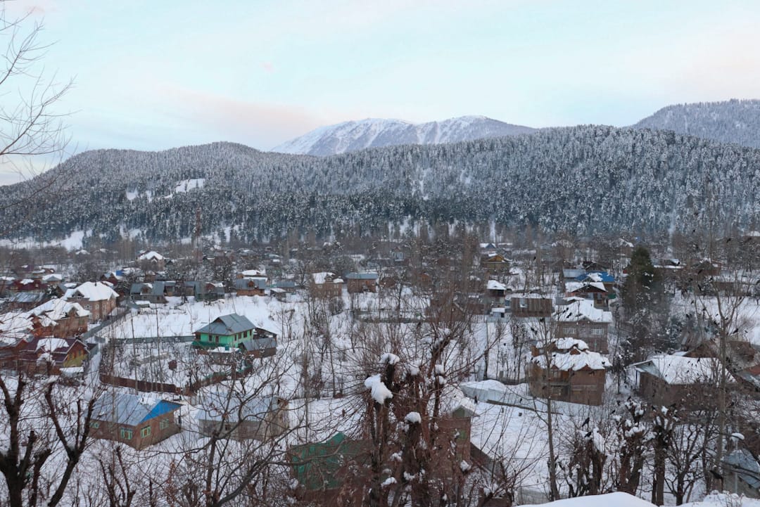
Gulmarg recorded a low of minus 5.6°C , same as on the previous night. The temperature was below normal by 0.2°C for the world famous skiing resort in north Kashmir.
Jammu, he said, recorded a minimum of 9.5°C and it was below normal by 8.1°C for the winter capital of J&K.
Banihal recorded a low of 5.4°C, Batote 4.3°C and Bhaderwah 1.4°C, he said. MeT has also issued an advisory cautioning about the disruption of surface and air transport in the valley.
It said that an active Western disturbance is most likely to affect J&K and adjoining areas from today evening/night onwards.
Under the influence of this system, it said, widespread moderate rain/snow is expected in Jammu and Kashmir from February 29th night/early morning of March 1 till the afternoon of March 3 with its peak activity on March 2.
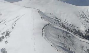
“The above system is most likely to cause heavy to very heavy rain/snow over Pirpanjal Range of Jammu division and middle & higher reaches of Kashmir Division (Anantnag-Pahalgam, Kulgam, Sinthan Pass, Shupiyan-Pir Ki Gali, Sonamarg-Zojila, Bandipora-Razdan Pass, Gulmarg and Kupwara-Sachna Pass),” read the advisory.
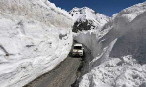
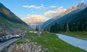
The weather activity may lead to disruption of surface and air transport including Jammu-Srinagar highway and other major roads of middle and higher reaches of J&K.
It urged the people in snow bound areas to avoid venturing into sloppy and Avalanche prone areas.
“Chances of landslides, mudslides & shooting stones most likely over the vulnerable areas,” it said, adding, “Farmers are advised to withhold all farm operations during 1st week of March.”
(Except for the headline, this story has not been edited by FPK staff and is published from a syndicated feed from GNS.)