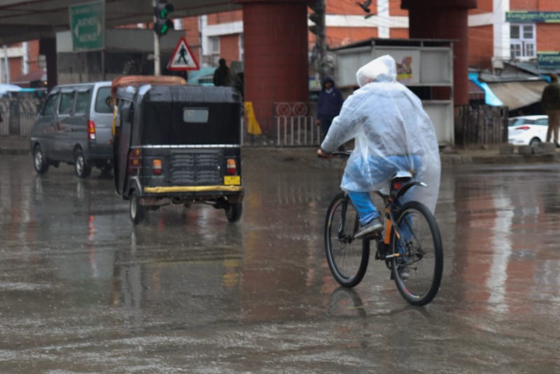

Srinagar: Jammu and Kashmir is expected to experience a spell of rain, thunderstorms and gusty winds from today (June 11) after several days of hot and dry weather, with the Meteorological Department cautioning that isolated heavy showers could trigger flash floods and mudslides in vulnerable areas.
The Meteorological Centre Srinagar said light to moderate rainfall, accompanied by thunderstorms, lightning and strong winds, is likely at many places across the Union Territory on June 11 and 12.
According to the department, wind speeds may range between 40 and 50 kmph, with gusts reaching up to 60 kmph. Some isolated areas may also witness hailstorms.
An official said the weather is expected to remain partly to generally cloudy, with one or two spells of light to moderate rain, brief intense showers, thunder and lightning at several locations during the two-day period.
The department has advised residents, farmers and travellers to exercise caution, especially in areas susceptible to landslides and flash floods.
The forecast indicates that partly to generally cloudy conditions will persist from June 13 to 17, with scattered light rain, brief showers, thunderstorms and gusty winds expected at various places.
The advisory noted that isolated intense showers in both Kashmir and Jammu divisions between June 11 and 14 could result in flash floods, mudslides and localised waterlogging.
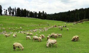
The weather update comes as most parts of Jammu and Kashmir continue to record above-normal temperatures.
Meteorological Department data showed Jammu recorded the highest maximum temperature in the Union Territory at 42.7 degrees Celsius on Wednesday, nearly four degrees above normal. Srinagar recorded 32.3 degrees Celsius, while Qazigund registered 32.8 degrees Celsius.
Temperatures in Kupwara, Kokernag and Gulmarg settled at 29.2 degrees Celsius, 30.5 degrees Celsius and 23.4 degrees Celsius, respectively.
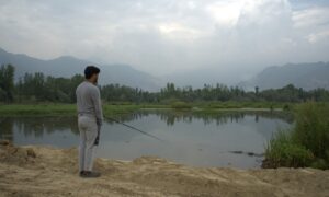
Meanwhile, water levels in major rivers and tributaries remained well below danger levels, according to the Irrigation and Flood Control Department.
On Wednesday morning, the River Jhelum was flowing at 1.35 feet at Sangam, 2.96 feet at Munshibagh and 3.45 feet at Asham. The level of Wular Lake was recorded at 1,575.43 metres.
Among key tributaries, Vishow Nallah at Khudwani stood at 2.35 metres, Lidder Nallah at Batkoot at 0.20 metres, Doodhganga at Barzulla at 0.40 metres and Sindh Nallah at Doderhama at 0.99 metres.
Officials said all rivers and streams were flowing within safe limits and there was currently no flood threat. However, they added that the situation would be monitored closely in view of the forecast rainfall activity over the coming days.