
Disclaimer: This story is best viewed on a desktop.
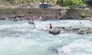
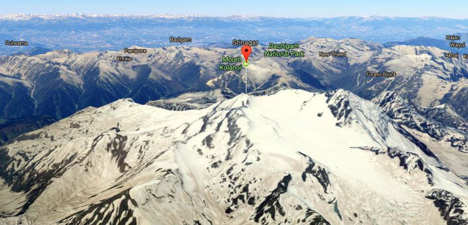
Part of the Himalayan Range, Kolahoi mountain is located between Sonamarg and Arin Pahalgam. The Sind River flows to its north, and the Kolahoi Glacier is the source of the Lidder River.
Here is a 360 degree view of the Kolahai mountain that will give you an idea where it is located.
Kolahoi Peak rises from the glacier, and is a pyramid-shaped peak, with ice falls and ice fields at its bottom. The rock formation of the peak is stable with aretes and ridges.
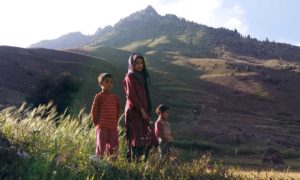
The glacier plays a significant role, in giving life to a large area. But the mountain on which it sits, is changing, and the glacier visibly receding.
Have a look at how the mountain’s ice cover has been changing since 1984-2016
(Click the Play button to watch the glacier change over the years)
To slow things down even more, here are satellite images of the glacier from 1984 and 2016.
If you are on the desktop computer, slide your mouse cursor right and left to see the change. For mobile users, slide the screen with your finger.
If you think that this is one glacier, and there are plenty more, you’re in for a huge surprise. Here are some of the other glaciers over the years.
Drang Drung Glacier
Rimo Glacier
Parkachik Glacier
Shafat Glacier
All images have been taken keeping in mind the change of seasons. The images represent receding over the years, and not of seasons in one particular year.